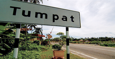
LOCATION
The district of Jeli is often considered Peninsular Malaysia’s West Coast gateway into the state of Kelantan. It has become a strategic resting area for travellers who are making their journey from the East Coast to the West Coast, or vice versa, through the East-West highway system. In addition, the district of Jeli is also a path into Southern Kelantan through the Jeli – Dabong highway. With its borders with Thailand in the north, the Tanah Merah district in the east, the Kuala Krai and Gua Musang districts in the south, and the state of Perak on its western borders, the district of Jeli is a strategically located area with a potential for strategic development. Jeli is the main town of this district and it is situated approximately 98 kilometers from Kota Bharu through the East-West highway. 82% of the district’s surface is hilly with dense forests and rivers. Among its main rivers are Sungai Pergai, Sungai Renyut, Sungai Suda and Sungai Balah (Jeli District Council, 2014). This district is also placed between 90 and 500 meters above sea level.
ATTRACTION
The following is a list of places of interests in Jeli (Jeli District Council, 2014):
• Mount Reng
• Homestay Kampung Bukit Jering
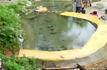
• Jeli Hot Springs
• Lata Janggut Waterfall
• Jeli’s Orang Asli Handicraft and Exhibition Center
• Orang Asli Settlements
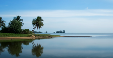
• Pergau Lake Sanctuary Park
• Lata Renyok Waterfall


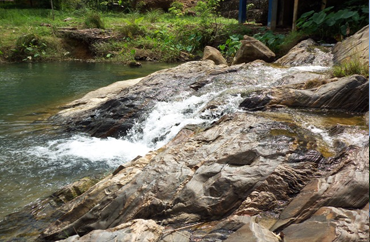 Lata Renyok Waterfall
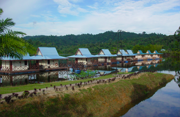 Pergau Lake Sanctuary Park